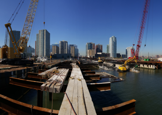
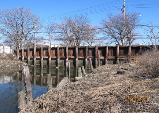
Waterfront & Marine
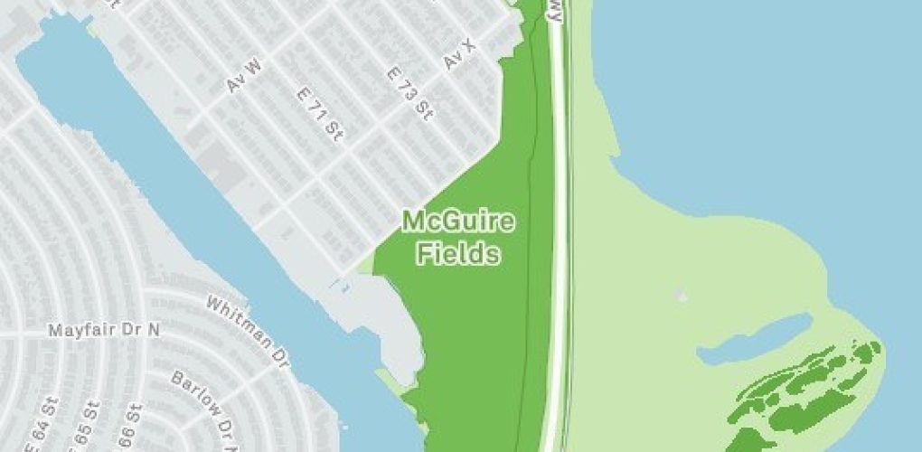
Aerial LiDAR Survey of Site 129 McGuire Field and Site 126 Marine Park, Brooklyn
- Owner: New York Economic Development Corporation
- Client: Jacobs Civil Consultants, Inc.
- Completed: September 2023
- Services: Land Surveying Services
MFS Engineers & Surveyors provided professional land surveying services in support of Aerial Lidar Survey project located at McGuire Field and Marine Park in Brooklyn, NY.
MFS performed an aerial photogrammetry and Light Detecting and Ranging (LiDAR) survey. The topographic surveying for sites 126 & 129 were accomplished photogrammetrically from new aerial imagery and LiDAR. New Digital RGB Imagery was acquired at 3.0cm GSD, and LiDAR at a density of 40ppm². Both the imagery and LiDAR were acquired within one hour of low tide. A separate helicopter flight at 500ft ASL was performed to capture the oblique imagery.
Sixteen photo control points were surveyed and used to perform the aero triangulation on the imagery and to calibrate the LiDAR into the project datums. The LiDAR was classified for the ground class of data (Class=2).
All visible planimetric features were digitized from the imagery on one of MFS’ softcopy stereo workstations along with terrain break lines and spot elevations, which were combined with the ground LiDAR data to create a Digital Terrain Model (DTM) from which the 1ft contours were generated. The mapping was output in AutoCAD Civil 3D formatted to MFS’ CAD specs. The mapping and LiDAR point cloud portrayed the ground down to the low water level at approximate low tide.
The photogrammetric aerial imagery was ortho rectified to Geo TIFF format at a 2” pixel. The extents of the ortho photography were the mapping limits plus an additional 200ft.