Government

NYCEDC – East 34th Street Heliport Substructure Rehab Phase II and Water Club Marginal Wharf Design

Manhattan, New York

Project Overview

MFS Engineers & Surveyors provided professional site/civil engineering and land surveying services in support of the New York City Economic Development Corporation (NYCEDC) East 34th Street Heliport Substructure Rehab Phase II and Waterclub Marginal Wharf Design (East 34th Street Sinkholes) project in the borough of Manhattan, New York.

1
3
Manhattan, New York

Project Details

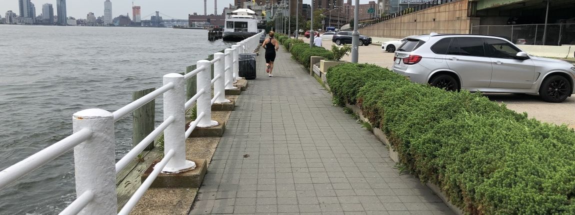
MFS’ site/civil team prepared a Maintenance of Traffic Protection (MPT) Plans to reroute the existing bike lane along FDR Drive Service Road where the proposed sink hole repair work can be performed safely while allowing the Service Road to be open. The repair work occurred in a high-traffic area, receiving off-ramp flow from the FDR Highway, and necessary diversions and/or closures needed to be carefully staged. MFS prepared a phasing plan showing required modifications to established traffic patterns with all necessary signage, barriers, and stripping. Additionally, these plans included MPT measures for safe pedestrian movement during construction.

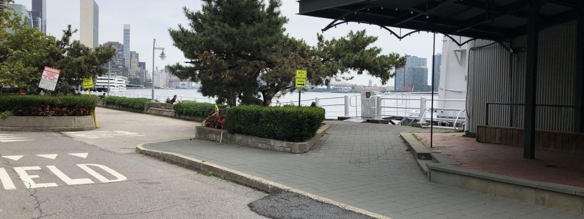
Due to this project’s inclusion of the East River Greenway bike path, under jurisdiction of the New York City Department of Parks & Recreation (NYCDPR), a new “Pop-up Park” was decided to be constructed to replace the existing parking lot adjacent to the existing heliport along the waterfront. The Pop-up Park is to include color painted line striping, landscape features including turf and planters, benches, tables, shade structures, new railings along the water, and new site area lighting. MFS’ site-civil team prepared the final construction documents including site plan package of the Pop-up Park including site plan, grading and drainage, utility, and construction details in accordance with NYCDPR standards.

MFS’ land survey team conducted a comprehensive boundary survey to identify various indicators of property lines, which included but were not limited to property markers, monuments, cross cuts, fences, walls, building lines, and curb lines. Additionally, MFS’s team carried out a thorough topographic survey to locate visible above-ground physical features such as buildings, curbs, pavement edges, driveways, striping, sidewalks, fences, walls, utility/light poles, signs, street trees, and tree lines.

To accurately depict the elevation data, MFS surveyed cross-sections of paved surfaces at minimum 25-foot intervals, capturing both low and high points. Spot elevations were obtained at regular intervals to create one-foot contours. Breakline features, including the top and bottom of curbs, edge of pavement, top and bottom of slopes, swales, banks, walls, and other relevant elements, were precisely located.

Furthermore, MFS dedicated efforts to locate accessible surface utilities, such as manholes, catch basins, trench drains, valve covers, utility/light poles, hydrants, and more. In the case of storm drains and sanitary sewers, MFS obtained measurements at accessible manholes and catch basins to determine inverts and pipe sizes. Subsurface utilities, including water, gas, electric, and communication lines, were mapped based on surface features and available record mapping data.

Stats

  • Owner:
    NYCEDC

Services Provided

  • MFS provides land surveying services throughout the tri-state area, specializing in site surveying, boundary surveys, topographical surveys, and utility surveys. One of the top surveying companies in NJ, we have extensive experience in real estate, infrastructure, utility, transportation and more.
  • Our land development civil engineers help the client to manage the permitting process at all levels. Our site development approach simplifies the numerous moving parts, combining our in-house expertise from start to completion, including conceptual planning, landfill design, & stormwater management.