Government
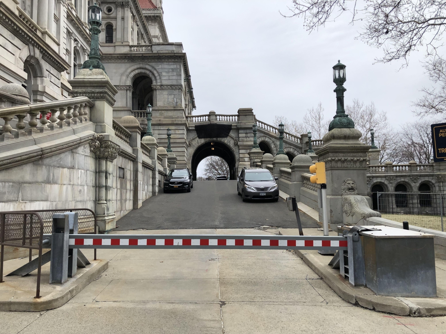
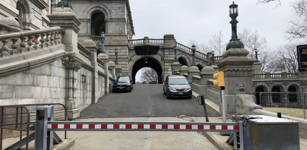
NYS Capitol Eastern Approach Rehabilitation
- Owner: New York State Office of General Services (NYSOGS)
- Completed: September 2027
- Services: Geotechnical Engineering Site/Civil Engineering, Structural Engineering
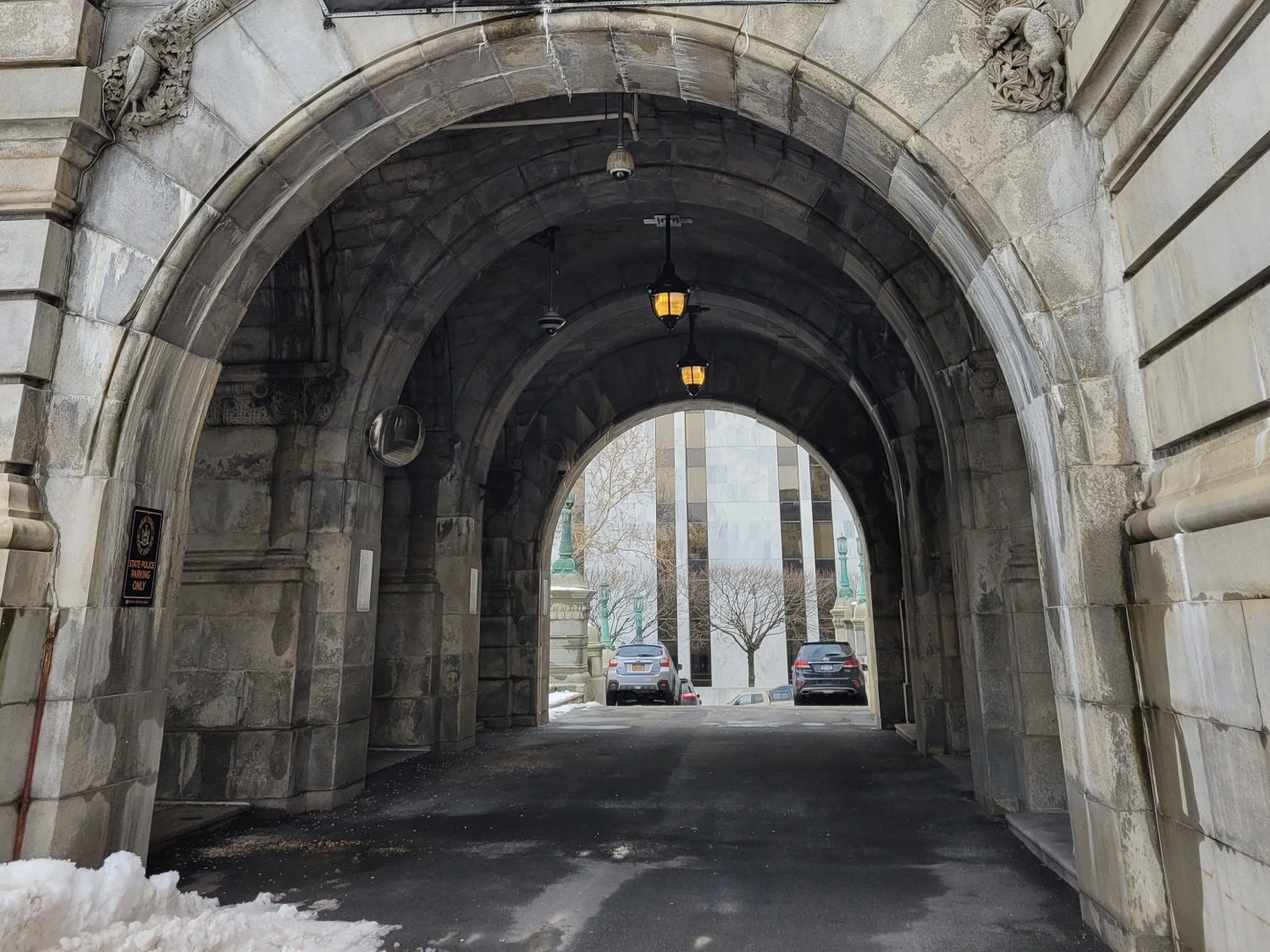
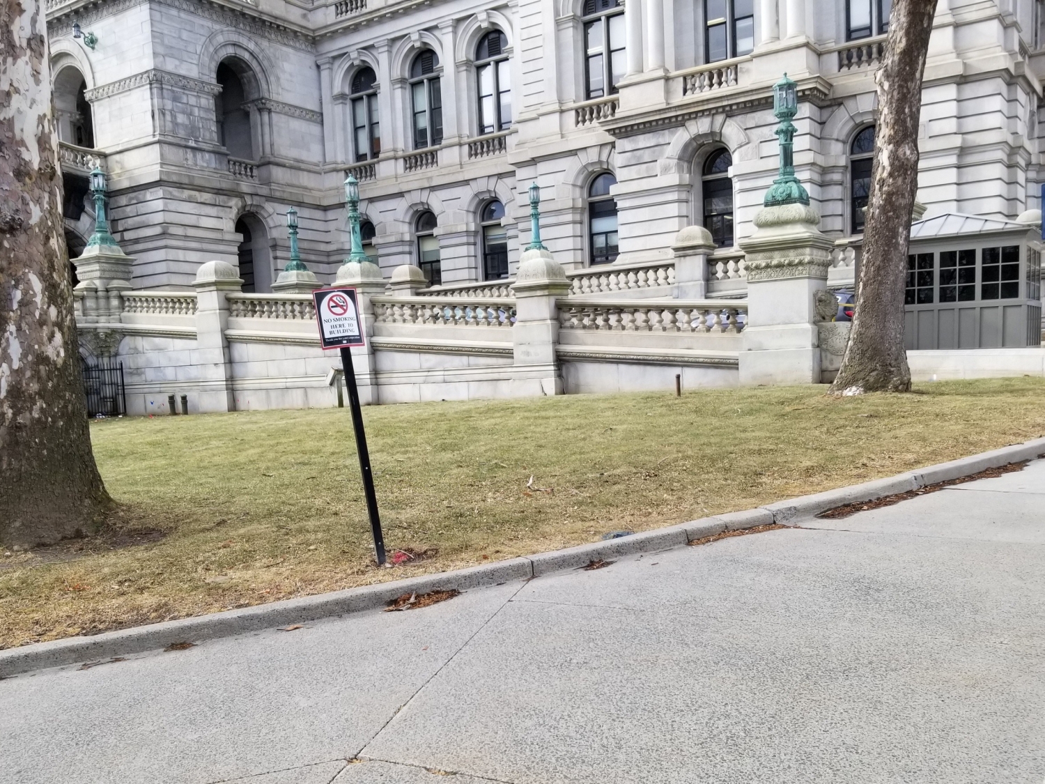
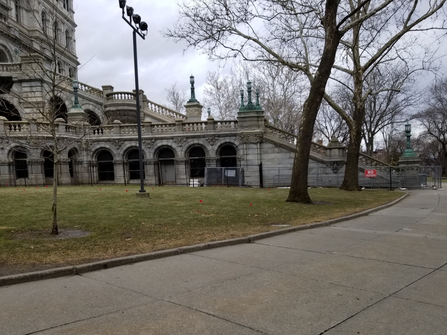
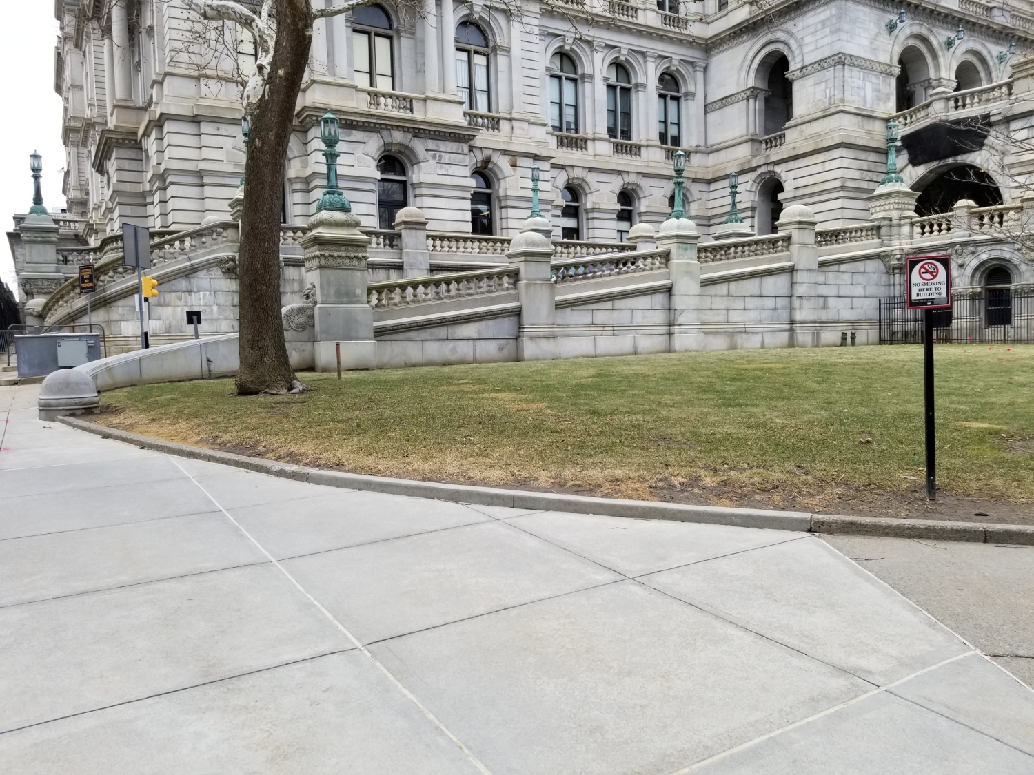
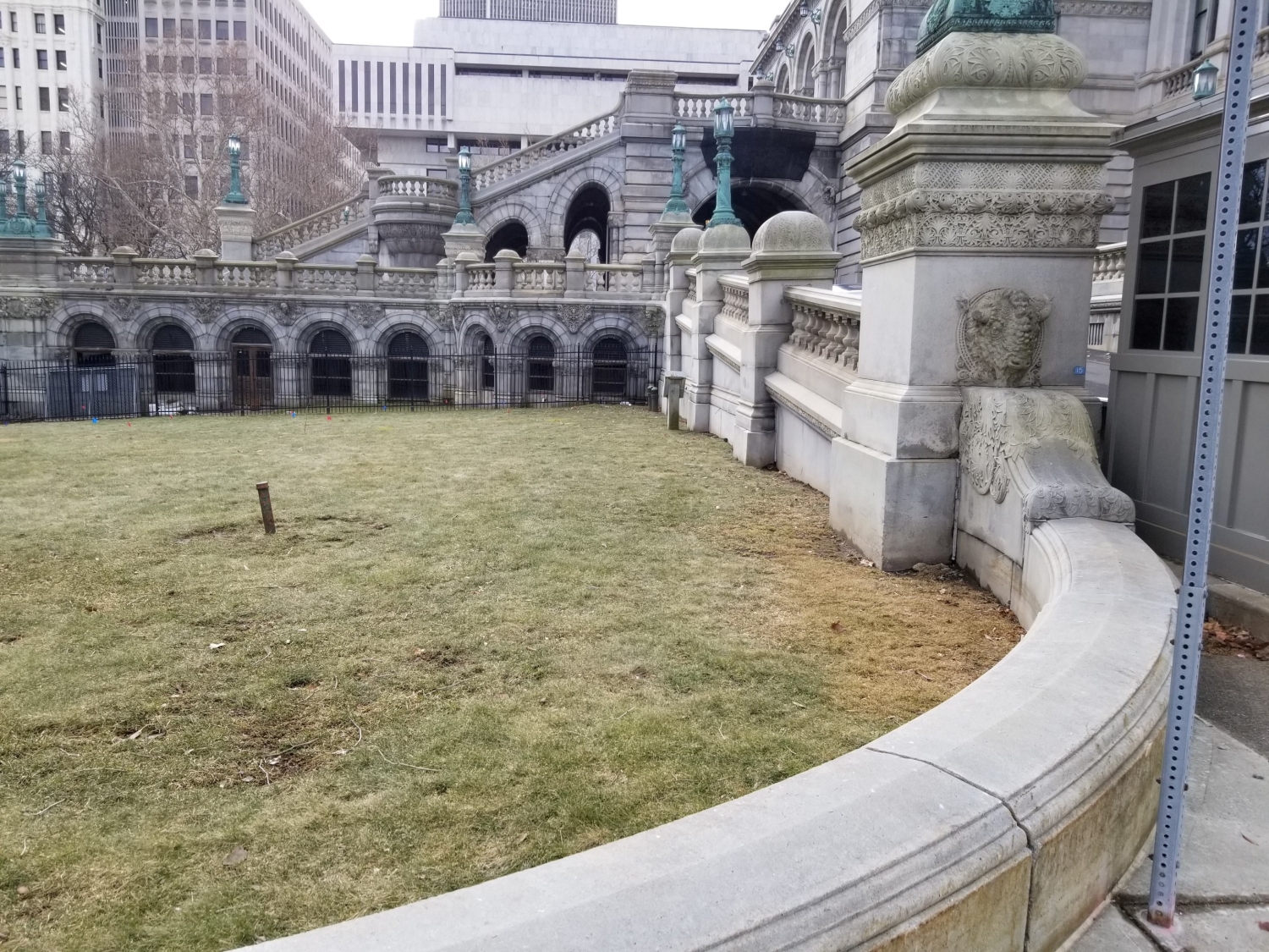
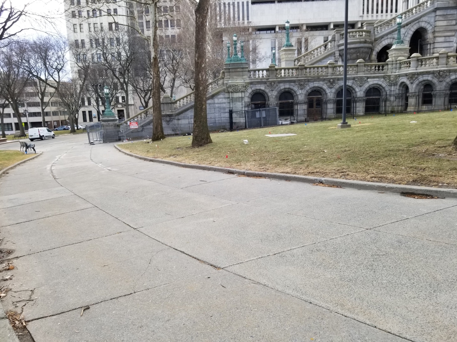
MFS Engineers & Surveyors provided professional survey, geotechnical, and site/civil engineering services in support of the New York State Office of General Services (NYSOGS) New York State Capitol – Rehabilitation of the Eastern Approach project at the New York State Capitol Building in Albany, New York. The project consisted of the comprehensive repair and rehabilitation of the deteriorated portions of the Eastern Approach Staircase, North and South Promenades, the Eastern Portico, and the Executive Ramp at the New York State Capitol.
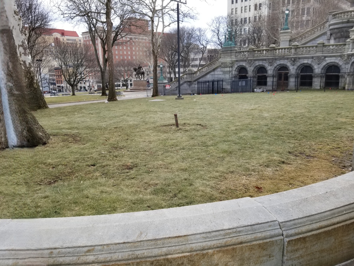
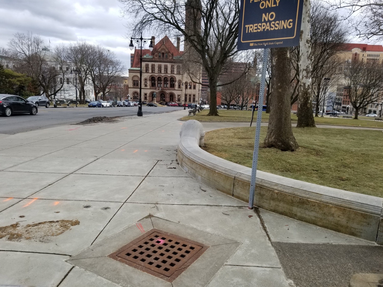
MFS’s survey team performed a topographic field survey to the locate the apparent above ground physical features, such as, but not limited to; buildings, stairs, curbs, edge of pavement, drives, striping, sidewalks, fences, walls, utility/light poles, signs, street trees, tree lines. First floor/garage floor elevations were determined at doorways. Cross sections of paved surfaces were surveyed at a minimum of 50’ intervals and at low/high points. Spot elevations were obtained at a spacing sufficient to develop contours at an interval of one foot. Breakline features such as top/bottom of curb, edge of pavement, top/bottom of slopes/swales/banks/walls, etc. were located.
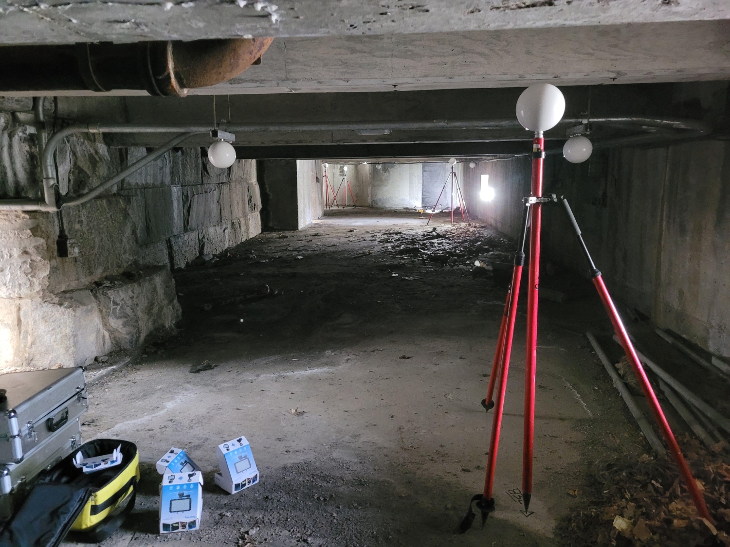
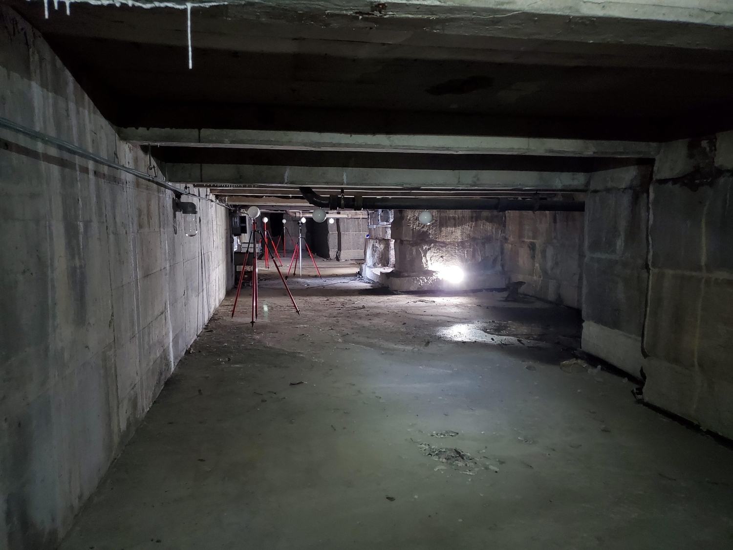
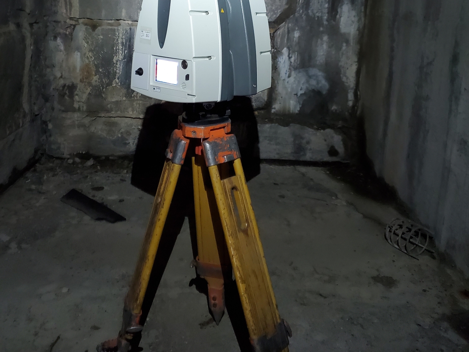
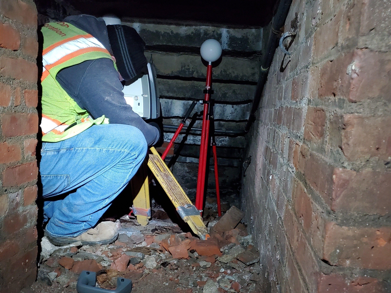
The survey team also conducted a utility survey to locate the apparent surface utilities surface hardware such as manholes, catch basins, trench drains, valve covers, utility/light poles, hydrants, etc. Additionally, a 3D laser scan of the stairway area was performed, which included interior spaces within scope limits, plus four high-definition scans of architectural elements for replication. MFS utilized a combination of cloud-to-cloud registration combined with multiple targets resection and survey control to register and constrain the 3d point cloud. MFS delivered a 3d point cloud in e57, rcp, or laz format.
MFS’s geotechnical team became acquainted with the physical conditions of the project site by inspecting the work area and completing a comprehensive review of the project documents and available historic geotechnical information. MFS then prepared a subsurface Investigation plan, which included a boring location plan, proposed number and depths of borings, proposed potential laboratory testing, details for other proposed in-situ investigations and testing, and applicable codes and standards to be followed for the subsurface investigation and testing.
MFS coordinated with our trusted subcontracted drilling agency to conduct nine test borings, one groundwater monitoring well, and two permeability tests at the project site. The purpose of the test borings was to identify the general subsurface conditions at the project site to inform the project geotechnical and structural design components for the proposed repair and rehabilitation efforts. The geotechnical borings were conducted along the existing executive ramp retaining walls, staircase walls, and near the existing guard booths in the vicinity of the proposed bollards. The borings were completed to depths up to 50 feet below grade. MFS obtained samples continuously in the upper 12 feet and at five-foot intervals thereafter during each boring. During the investigation, Shelby Tubes (undisturbed samples) were obtained in accordance with ASTM D1587.
At the completion of the subsurface investigation, MFS completed geotechnical laboratory testing on select soil samples and prepared a geotechnical engineering report to provide design and construction recommendations for the proposed reconstruction of the retaining walls along the north and south executive ramps and for the proposed bollards at the executive ramp entrances.
MFS’s site/civil team prepared a site plan package, which consisted of site data including key map, proposed use, zoning table, and other items in the plan requirements, a site demolition and removal plan that depicted the existing site conditions with the items/structures that need to be removed or to remain, an erosion and sedimentation plan that includes the limits of disturbance or areas with proposed improvement along with control measures for preventing impact to nearby waterways, a proposed site plan that depicted improvements including the structure footprint, travel ways, pavement, signage, dimensioning of the site features to the property lines, and other site related elements. A grading plan was prepared to divert storm water away from buildings and around structures in a controlled manner to prevent property damage. MFS provided a stormwater management plan due to the major disturbance classification of this project.
MFS’s team developed a NYS DEC Stormwater Pollution Prevention Plan (SWAPP). This plan included the proposed drainage and erosion and sedimentation plans and report to show design of pollution prevention measures and outline of applicable preventive actions and corrective measures. Increases in runoff quantity or rate must be offset with retention or structural controls, and redevelopment project require a reduction of impervious coverage, limited stormwater management, or a combination of both.