Government
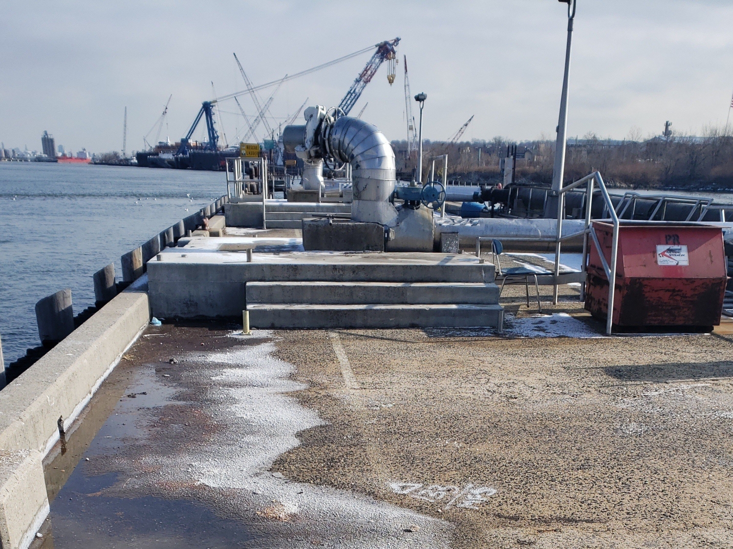
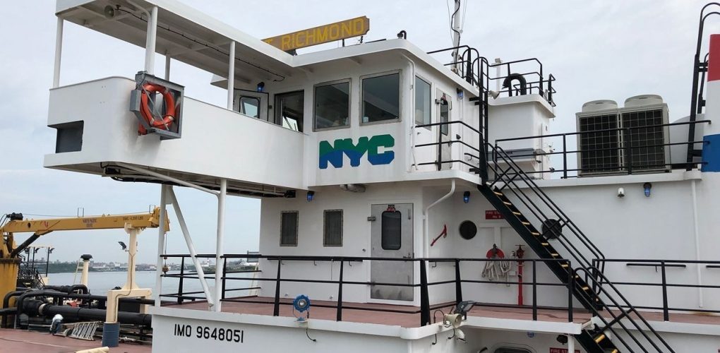
Port Richmond Wastewater Resource Recovery Facility
- Owner: New York City Department of Environmental Protection (NYCDEP)
- Completed: October 2022
- Services: Land Surveying Services
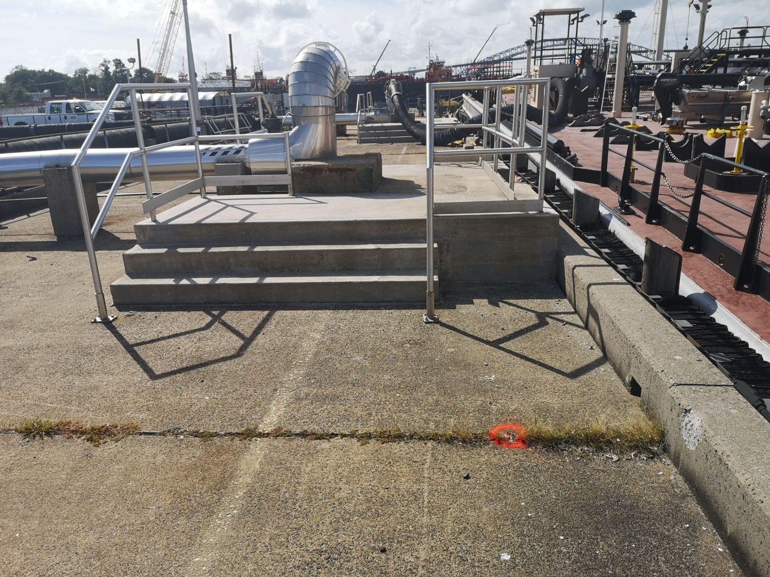
MFS Engineers & Surveyors provided professional land surveying services in support of the New York City Department of Environmental Protection (NYCDEP) Improvements to the Sludge Dock at Port Richmond Wastewater Resource Recovery Facility. These services included topographic, and bathymetric surveys.
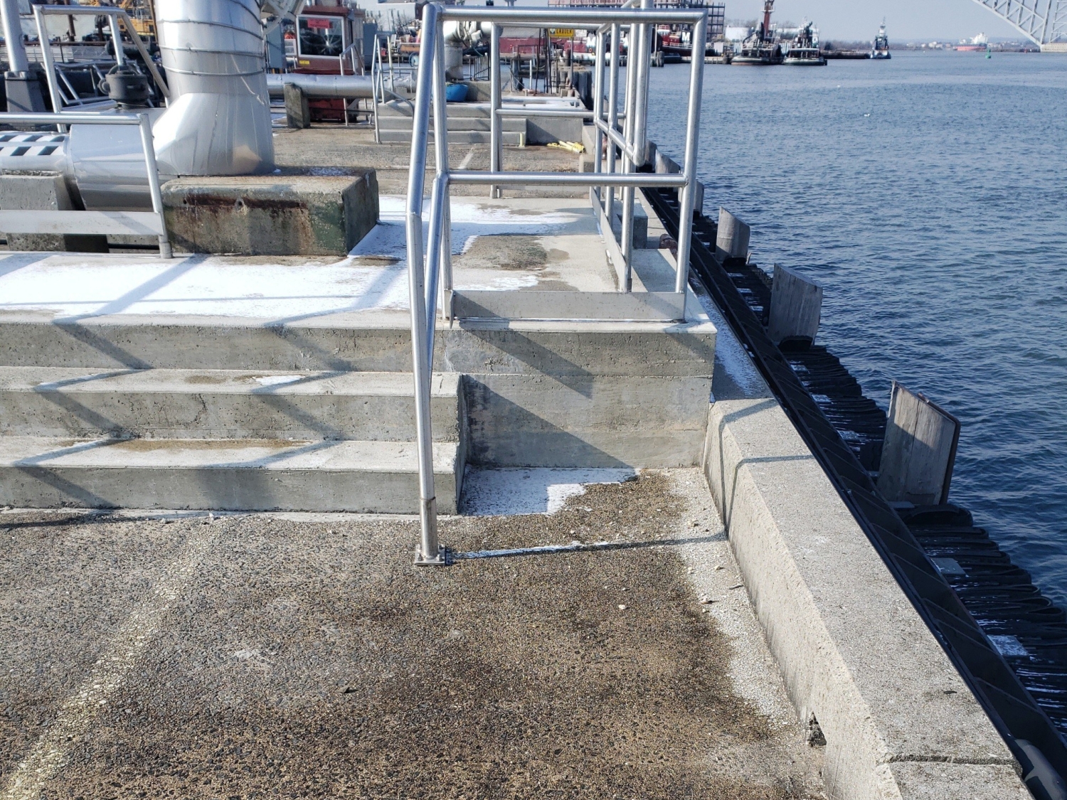
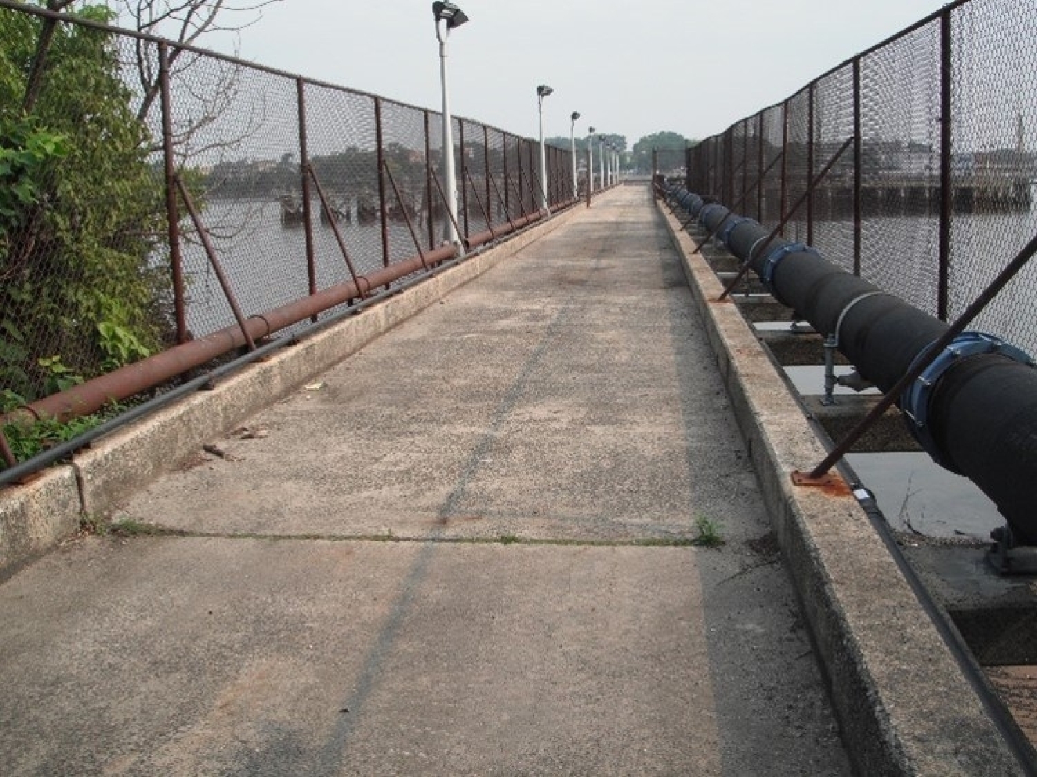
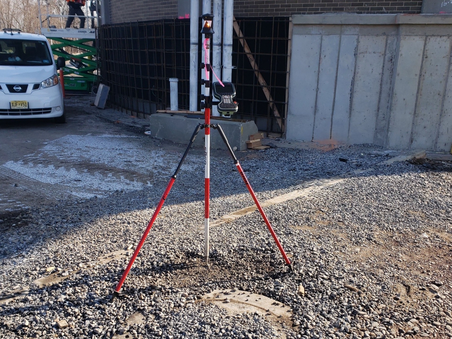
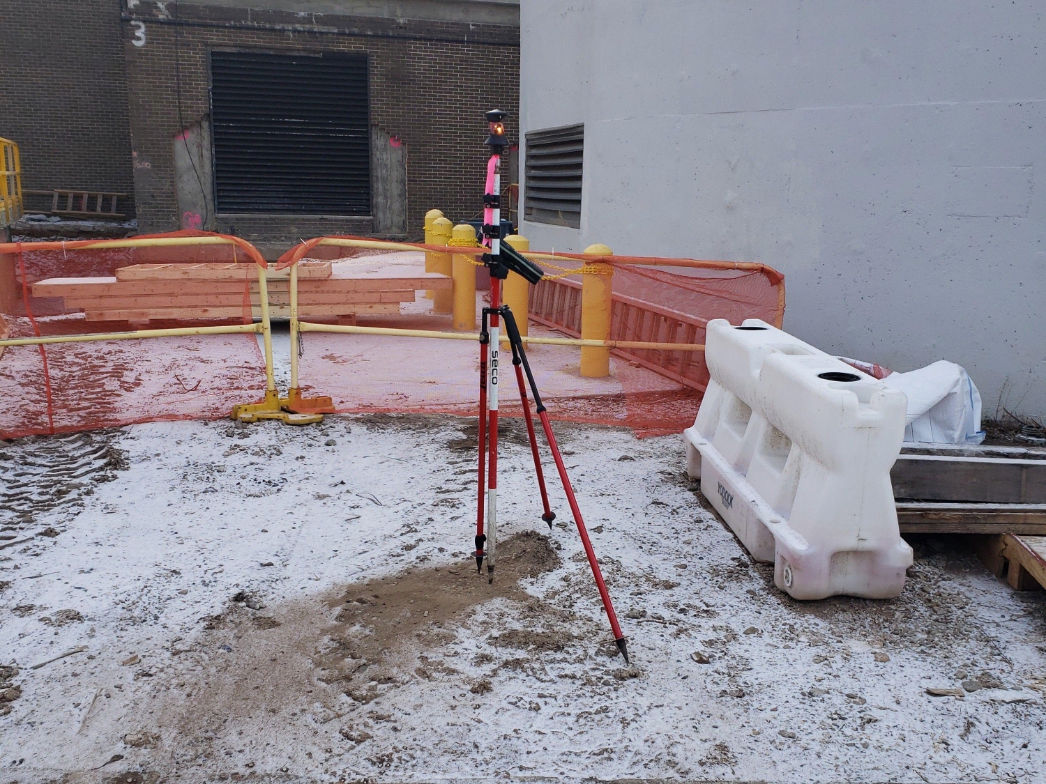
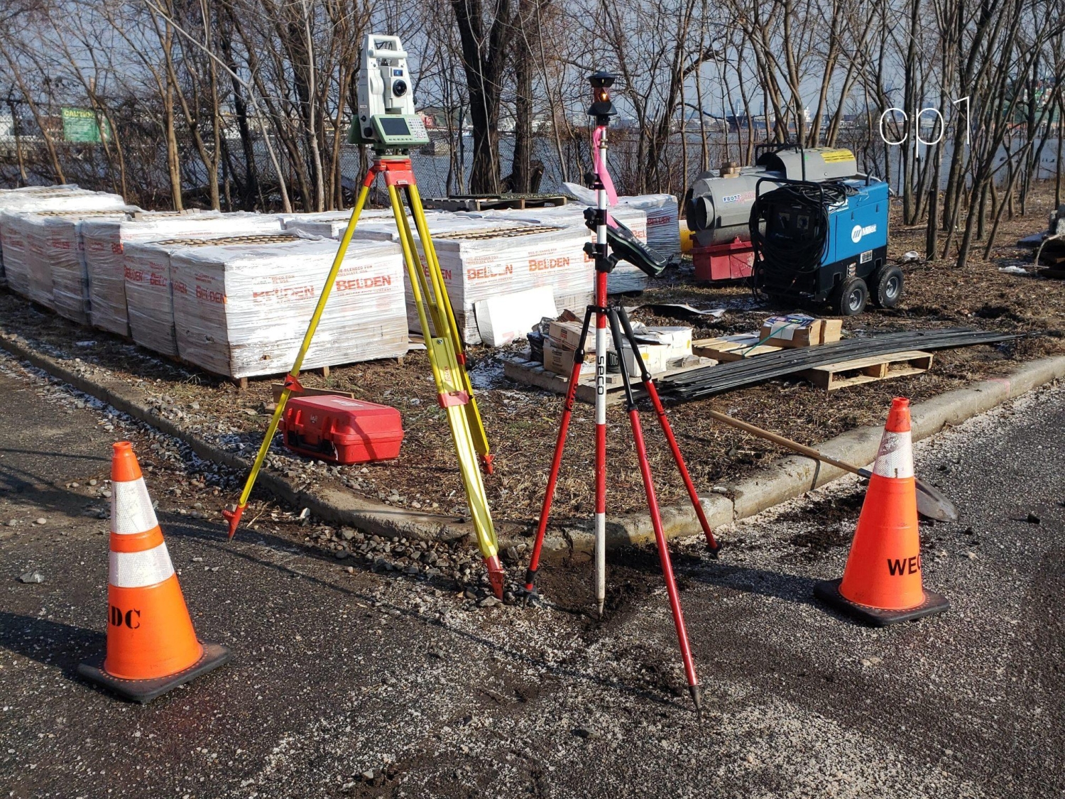
MFS performed a topographic survey to locate the accessible above ground physical features, such as top of bank, bottom of bank, center of stream, buildings, curbs, edge of pavement, drives, striping, sidewalks, fences, walls, utility/light poles, street trees, tree lines, tracks and street furniture. First floor/garage floor elevations were determined at doorways. Features under any raised structures including bridges were surveyed to include the roadway feature. Cross sections of paved surfaces were surveyed at a minimum of 50’ intervals and at low/high points. Spot elevations were obtained at a spacing sufficient to develop contours at an interval of one foot. Breakline features such as top/bottom of curb, edge of pavement, top/bottom of slopes/swales/banks/walls, etc. were located. At waterways the surveys were extend to the edge of water.
MFS's survey team located accessible surface utilities such as manholes, catch basins, trench drains, valve covers, utility/light poles, hydrants, etc. For storm drains and sanitary sewers MFS obtained measurements to determine inverts and pipe sizes at accessible manholes and catch basins. Subsurface utilities such as water, gas, electric and communication were depicted based on surface features and available mapping.
A bathymetric survey was conducted to map the bottom contours of those areas below water and outward to the channel from the shoreline. The survey was performed with multibeam sonar. The bathymetric survey contours were at a one-foot interval of the waterway bottom. The survey was coordinated with MFS’s land-side survey and was in the same coordinate system and elevation datum.