Government
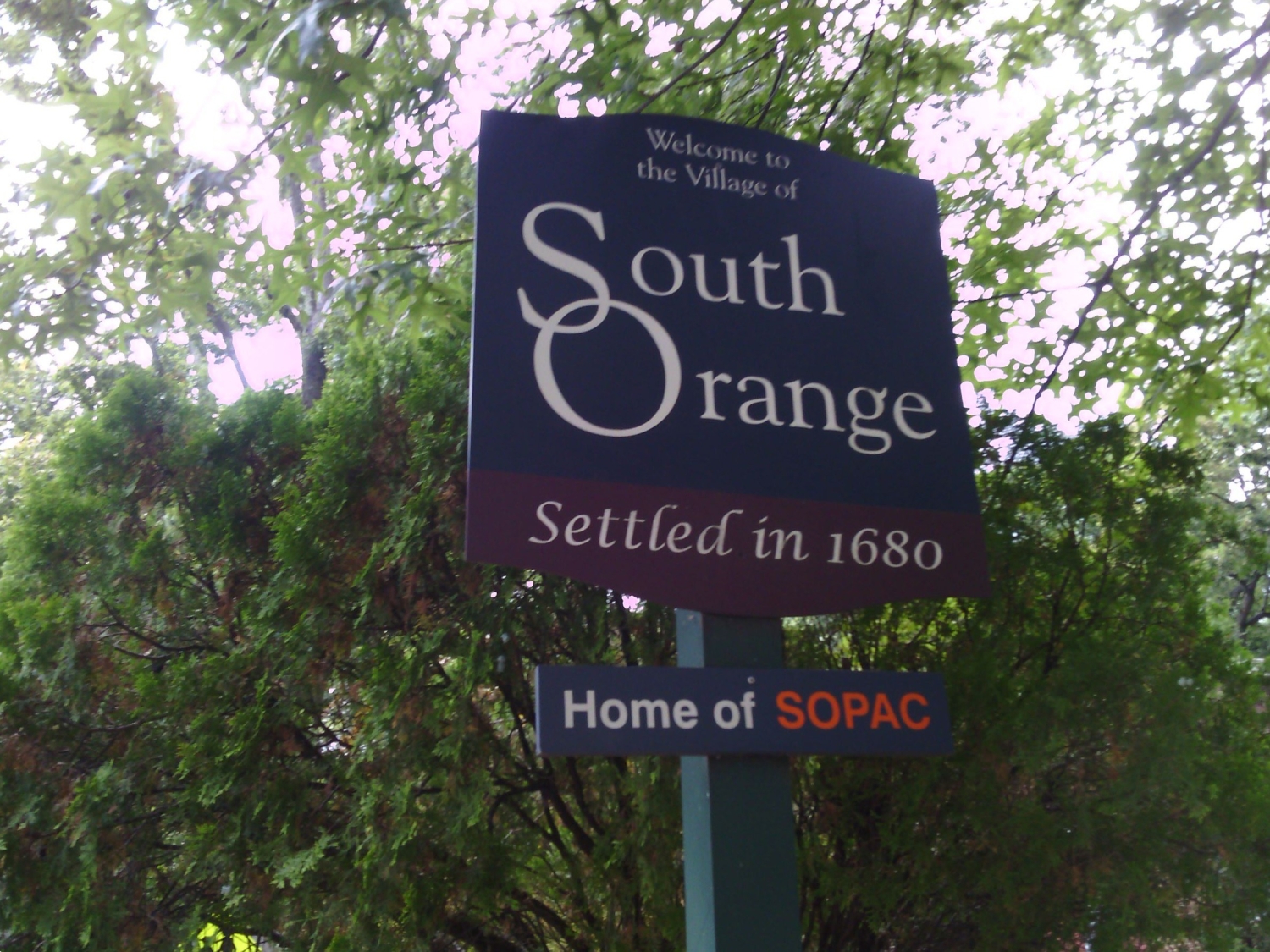
South Orange – Five Sites
- Owner: The Township of South Orange Village
- Services: Land Surveying Services
MFS Engineers & Surveyors provided professional land surveying services in support of HDR’s design services for the Township of South Orange Village project. The services for the five locations included topographic, utility and boundary survey, and the staking of utility easements.
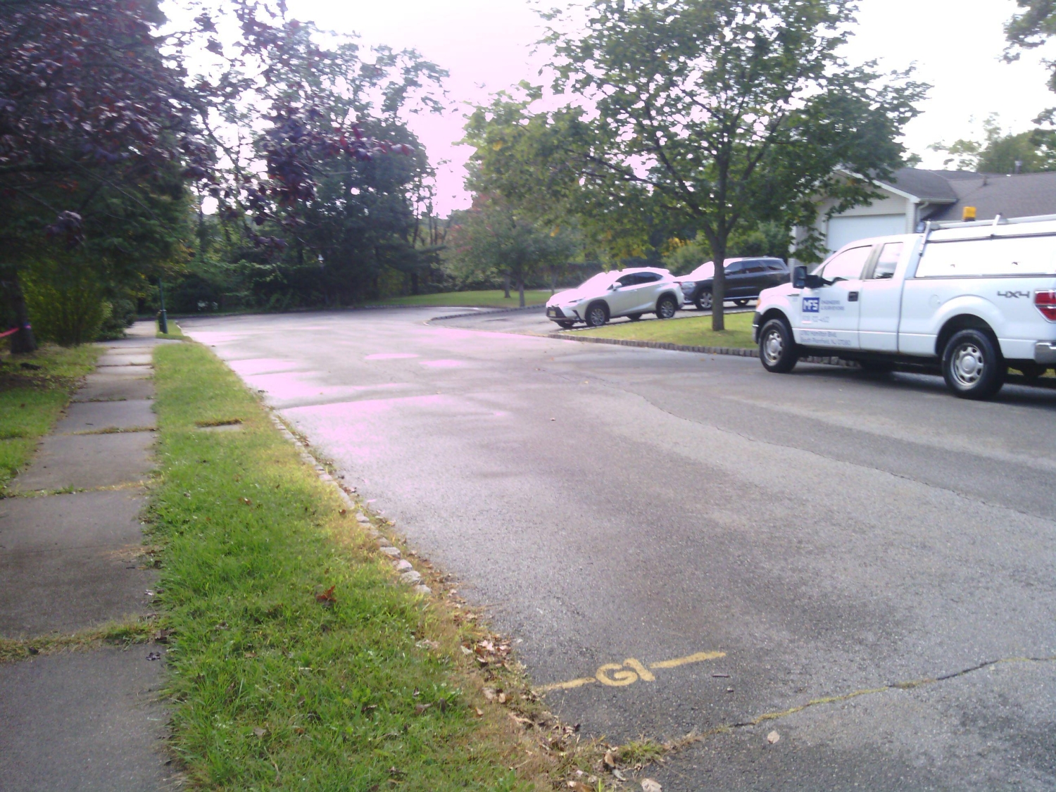
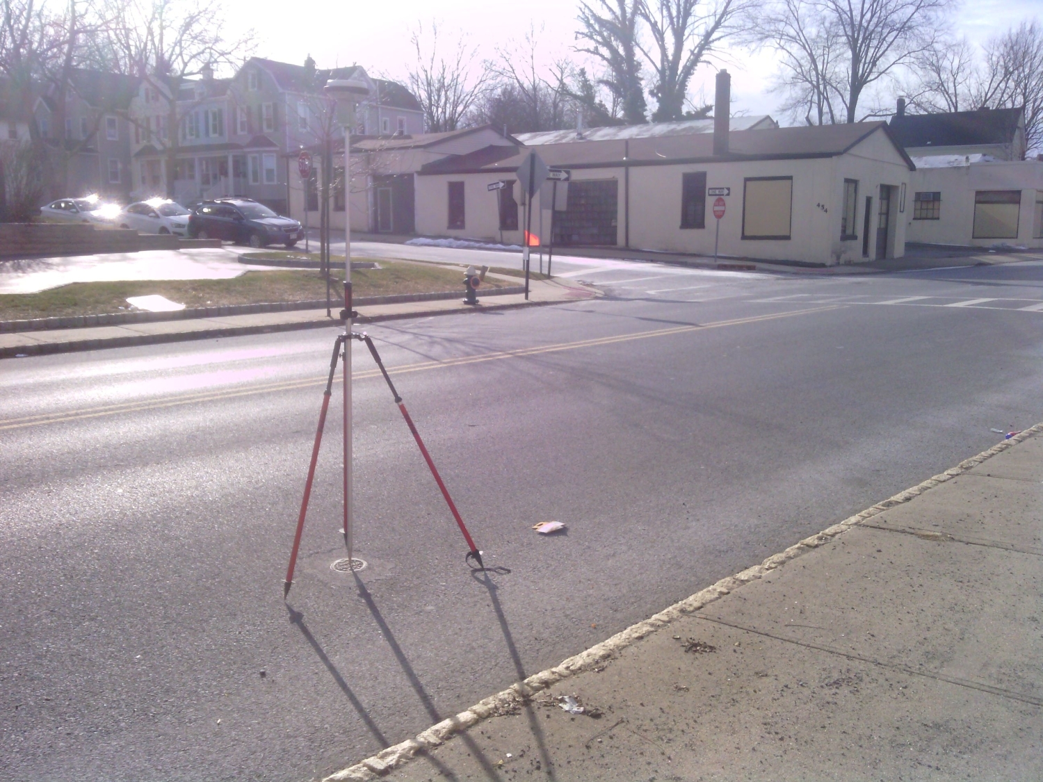
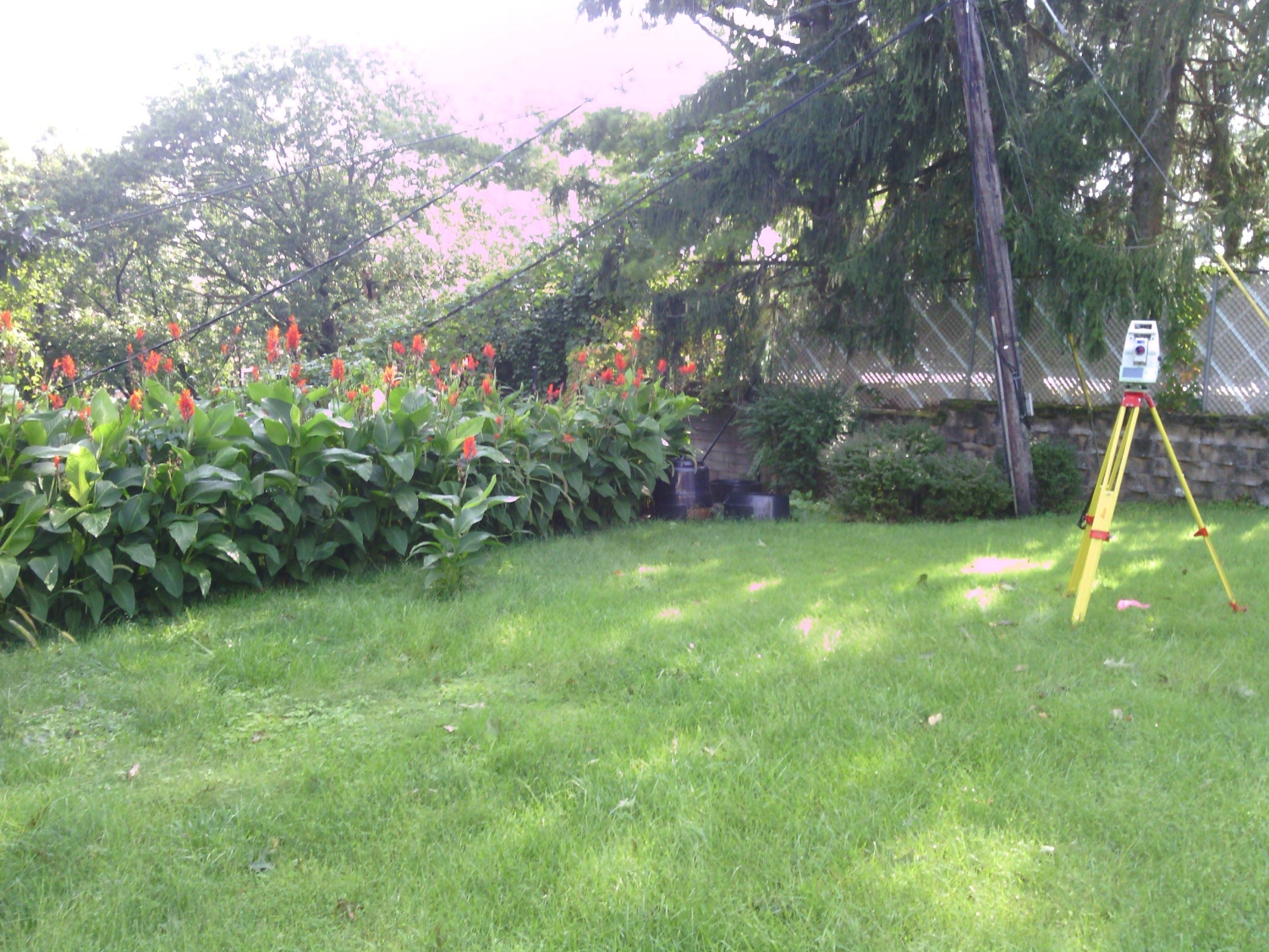
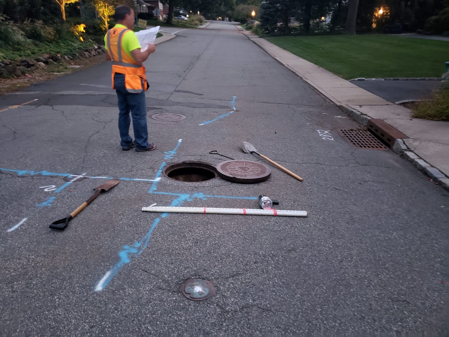
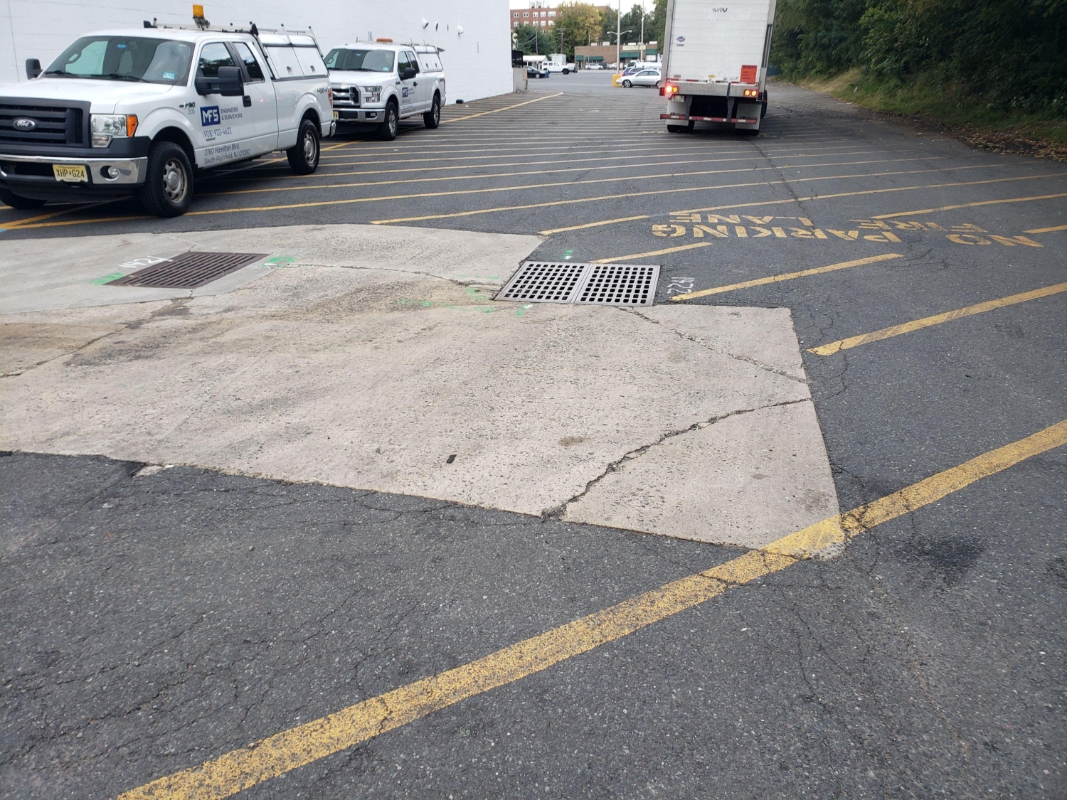
MFS performed field surveys to locate physical features, buildings, curbs, edge of pavement, drives, striping, sidewalks, fences, walls, utility/light poles, street trees, tree lines, street furniture, and other features. Spot elevations were obtained at a 25’ stationing along the roadways and at spacing sufficient to develop contours at an interval of 1 foot. First floor/garage floor elevations were determined at doors. Spot elevations along curbs, edge of pavement, sidewalks, wall, building corners and grade breaks were depicted.
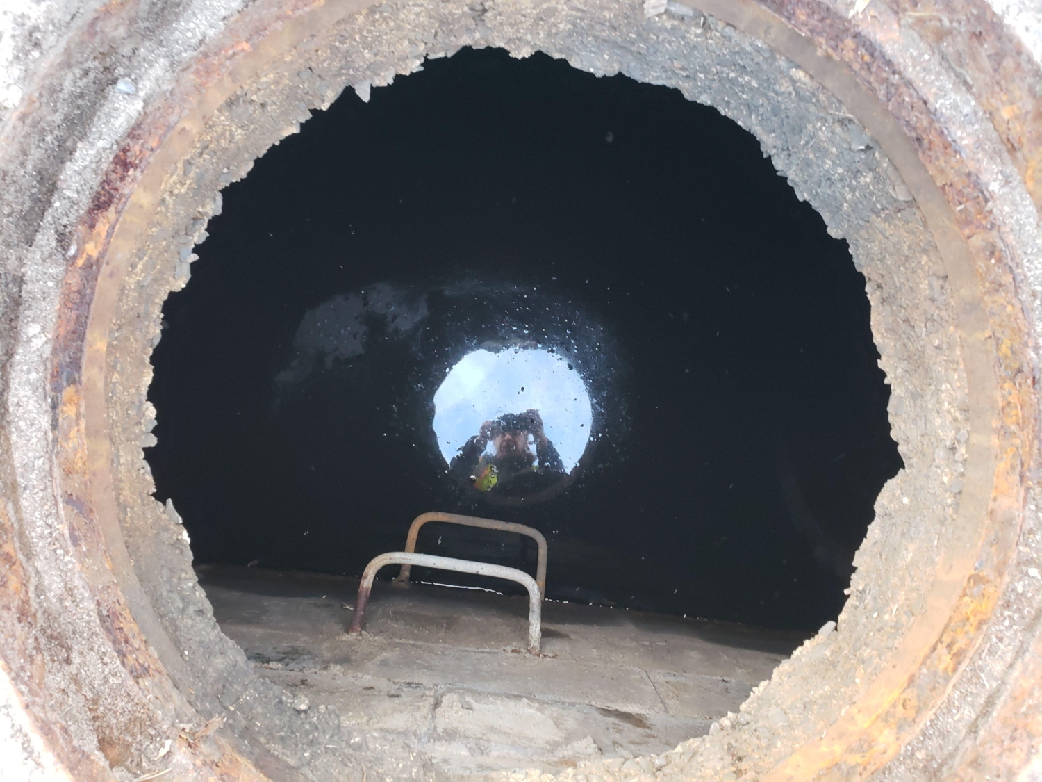
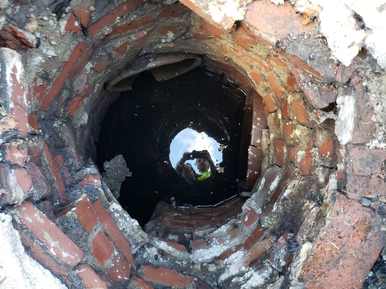
MFS located surface utilities such as manholes, catch basins, headwalls, valve covers, utility/light poles, hydrants, etc. For storm drains and sanitary sewers, MFS attempted to obtain measurements to determine inverts and pipe sizes at accessible manholes and catch basins. All measurements were obtained from street level. Horizontal locations of subsurface utilities such as steam, water, gas, electric and communication were depicted based on surface features and mark out of subsurface utilities.
MFS’s field team located evidence of property lines, including, but not limited to, property markers, monuments, cross cuts, fences, walls, building and curb lines to assist in the determination of the boundary lines. MFS obtained, from the Township of South Orange Village, the Client and the County Register/ Clerk’s information pertaining to the property lines, Right of Way (ROW) lines, and easements. The property lines and right of way line’s information consisted of; deeds, filed maps, site plans, surveys, minor or major subdivision plans, or other improvement plans within the project limits. Easements depicted in the record documents or in the title report were shown on the survey plan.
An electromagnetic utility survey was performed locating in compliance with Quality Level “B” of CI/ASCE 38-02, Standard Guideline for the Collection and Depiction of Existing Subsurface Utility Data, hereinafter referred to as Standard 38-02. All non-locatable utilities discovered were shown on the drawings at Quality Level “C” or “D”. Tunnels, wide ducts, etc. when the configuration is known, were marked with paint to approximate each side of the system.
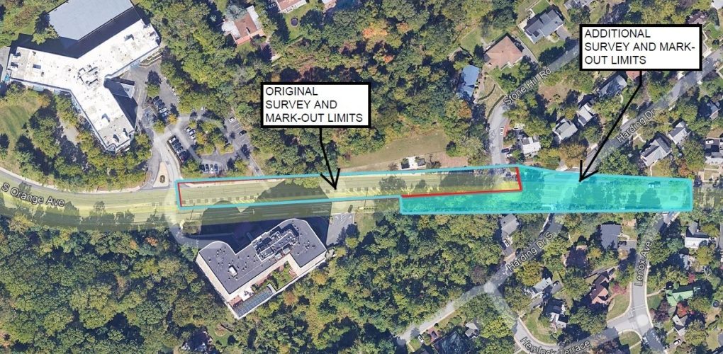
MFS’s office personnel requested records of the existing underground facilities. Utility record information was used as an aid in the identification of the number, identity, size and material of utilities located in the field. MFS performed the field work to physically mark out the easement. Markers either being a mag nail and paint on paved surfaces or on non-paved surfaces a wooden hub set flush with the ground and witnessed by a 36” wooden lathe tied with ribbon will be placed at 50’ intervals along both sides of the easement.