
NJTA Project for OPS T4261 at NJ Turnpike Int 13
- Owner: New Jersey Turnpike Authority
- Services: Photogrammetry and Aerial LiDAR
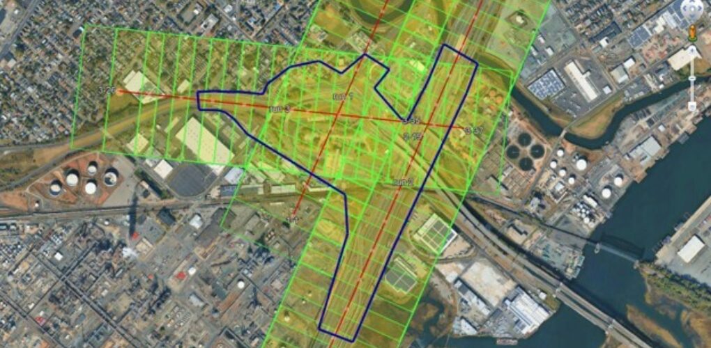
MFS Engineers & Surveyors provided topographic basemapping and photogrammetric services for approximately 132 acres surrounding Interchange 13 of the New Jersey Turnpike in Elizabeth, Union County. The work included topographic mapping at a scale of 1 inch = 30 feet, with rectified orthophotography extending 50 feet beyond the edge of pavement and into intersecting streets.
New low-level digital aerial imagery was acquired at a 2.0 cm ground sampling distance (GSD) and processed through digital aerial triangulation utilizing photo control provided by AmerCom. Fixed-wing aerial LiDAR was also acquired at a density of 30 points per square meter, calibrated to the project datums, and classified to identify ground points.
Visible man-made and natural planimetric features were photogrammetrically compiled using softcopy digital stereo plotters, then formatted in MicroStation V8 in accordance with NJTA CADD standards. A Digital Terrain Model (DTM) was developed in SelectCAD by integrating the LiDAR ground data with three-dimensional breaklines and ground-level features collected through photogrammetry. One-foot contours were generated from the resulting surface.
Aerial imagery was orthorectified at a 3-inch pixel size and delivered in GeoTIFF and ECW formats with accompanying world files. Experienced technicians performed all mapping and orthophotography under the direct supervision of MFS’s certified photogrammetrists. The work was completed in accordance with applicable NJTA standards and to meet or exceed the ASPRS Positional Accuracy Standards for Digital Geospatial Data.