Government
NJ Rte 29 in Hamilton Twp, and the City of Trenton in Mercer Co. - Route 29 MP 0.00 - 6.68/I-295/I-195/NJ 29
- Owner: NJDOT
- Completed: January 2025
- Services: Photogrammetry and Aerial LiDAR
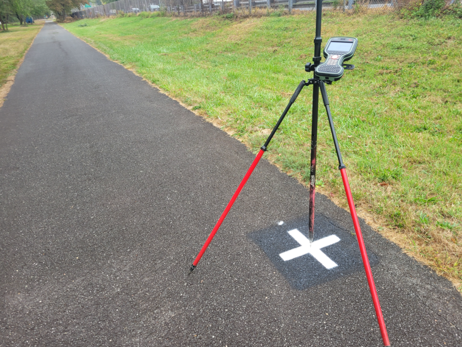
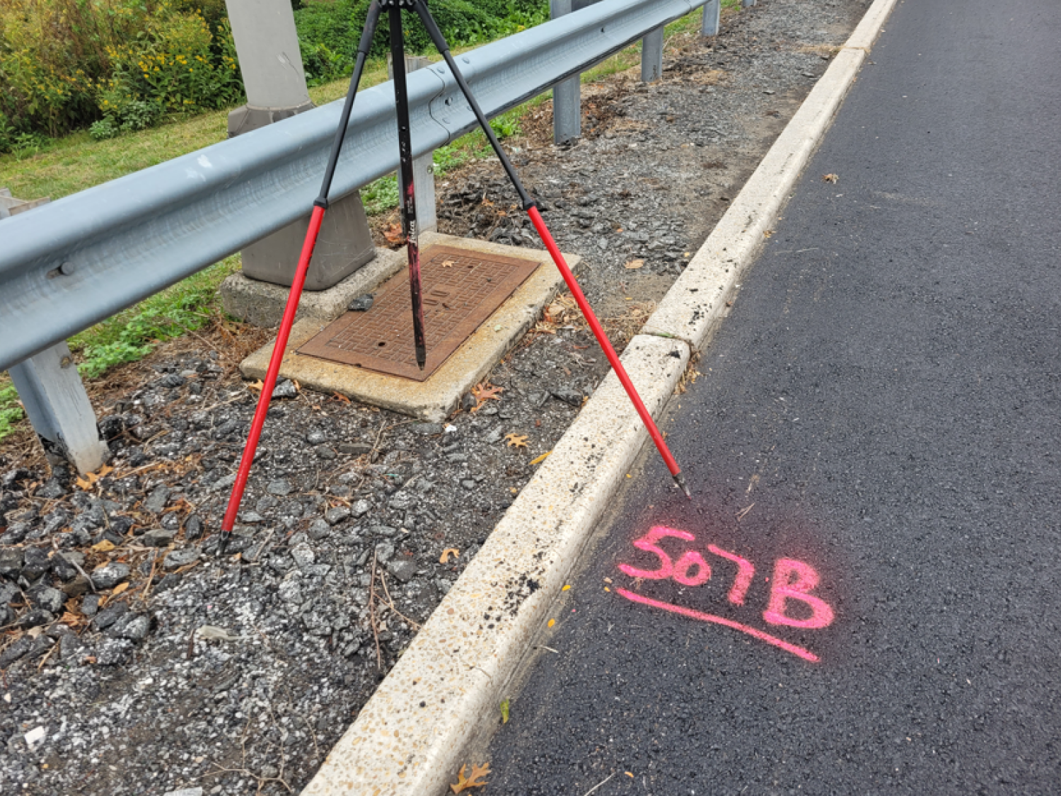
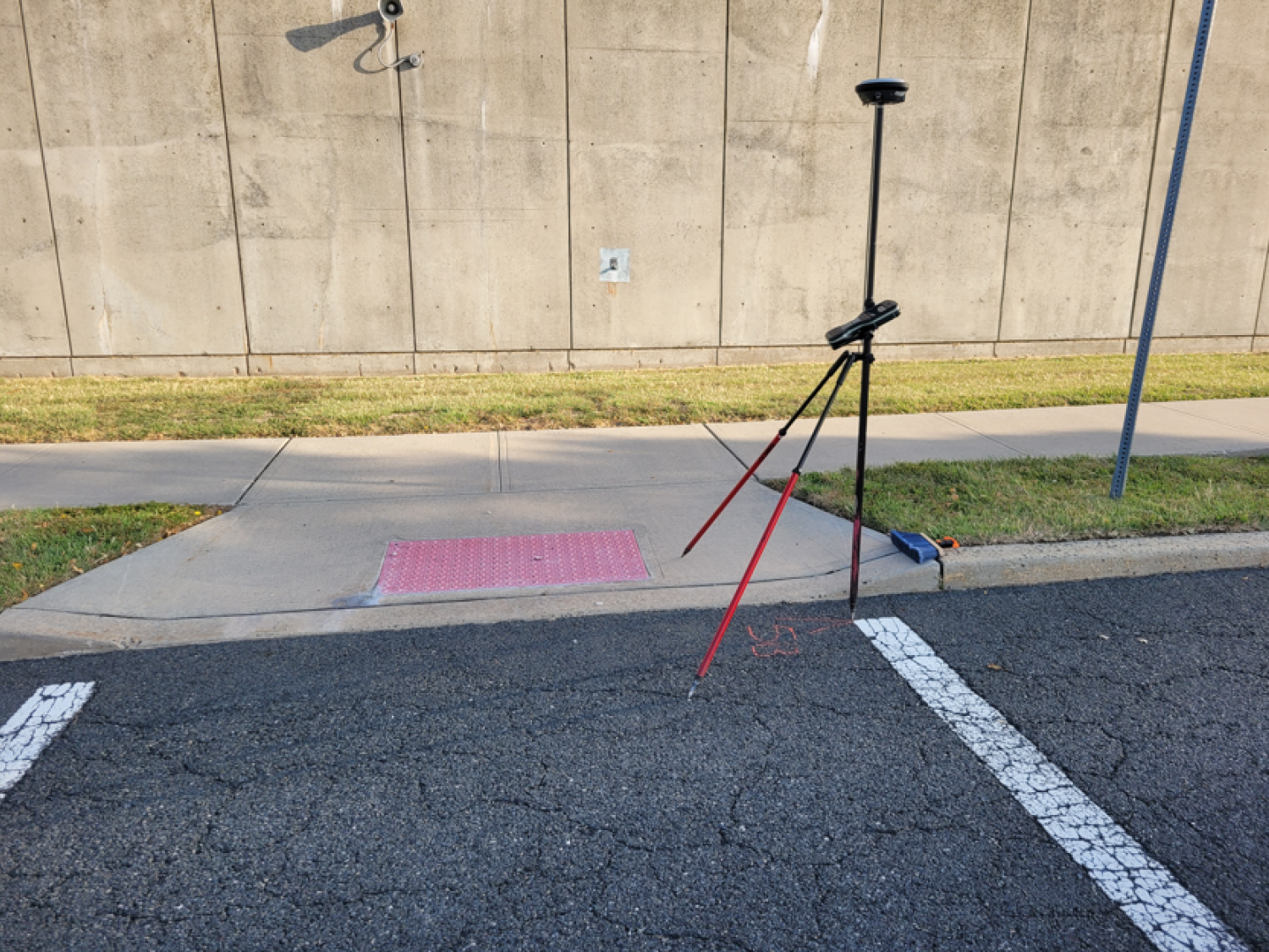
This project entailed providing topographic base mapping at 1” =30’ with rectified ortho photography for 6.68 miles of Rte. 29 in Hamilton Twp & the City of Trenton in Mercer County.
New Digital Aerial Imagery was acquired at a GSD of 4.8cm and processed through aero triangulation utilizing photo control provided by AmerCom.
All visible planimetric features, both manmade and natural, were photogrammetrically compiled on our suite of Softcopy Digital Stereo Plotters, and then formatted in MicroStation v8 using NJDOT’s CADD standards.
The mapping extended to 50ft past the edge of pavement, with extensions into intersecting streets and amounted to 300 acres.
The aerial imagery was then ortho rectified at a pixel size of 3” and encoded to GeoTIFF and ECW formats with accompanying world files.
The mapping and orthophotography were performed by skilled technicians under the direct supervision of certified photogrammetrists to meet or exceed ASPRS Positional Accuracy Standards for Digital Geospatial Data and in accordance with NJDOT article 51.