Bank Side Press/TWA
- Owner: North Jersey District Water Supply Commission
- Completed: Energy & Utility
- Services: Land Surveying Services
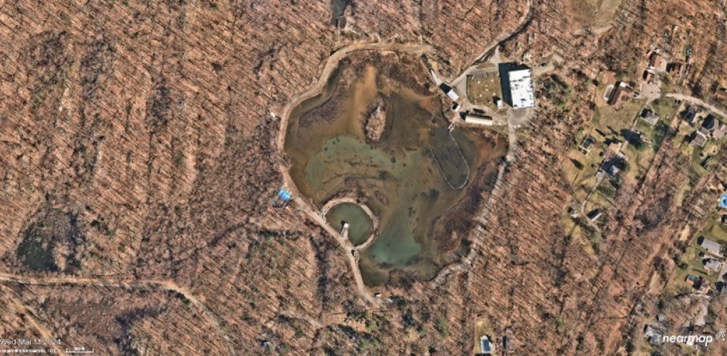
MFS Engineers & Surveyors provided geospatial and mapping services for the North Jersey District Water Supply Commission’s Bank Side Press/TWA Retaining Basin project located in Wanaque, New Jersey. The firm was tasked with delivering high-resolution georeferenced imagery and aerial LiDAR data, photo control, and mapping production to support project planning and design efforts.
MFS completed flights utilizing small, unmanned aircraft systems (SUAS), capturing color digital imagery at an approximate resolution of 1.9 centimeters and aerial LiDAR at a density of 250 points per square meter. The data collected was accurately calibrated to the project’s horizontal and vertical datums, NJSP NAD83 and NAVD88.
The team conducted pre-flight targeting and established survey control points. Supplemental spot shots within the basin were also collected to enhance the accuracy of the surface model, particularly in obscured or water-covered areas.
Using the collected aerial data, MFS produced a comprehensive map of approximately 20 acres, the area designated in red in the provided mapping limits. Planimetric mapping at a scale of 1" = 30' was completed through softcopy stereo compilation, and one-foot contour intervals were generated from a combination of stereo imagery and LiDAR datasets.