Government
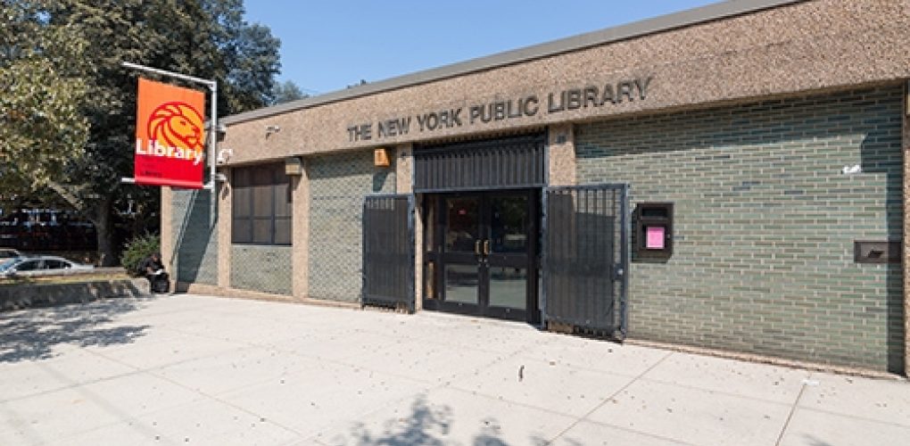
NY Public Library Edenwald Branch
- Owner: New York Public Library
- Completed: December 2024
- Services: Land Surveying Services
MFS Engineers & Surveyors provided professional land surveying services to support improvements at the Edenwald Branch Public Library in Bronx Borough, Bronx County, New York. The project involved a comprehensive topographic survey, a subsurface utility investigation, and the reestablishment of parcel boundary lines for Block 4956 Lot 1. The mapping covered the library parcel and extended to the near-bottom curbline of East 233rd Street and De Reimer Avenue.
MFS established primary survey control using GNSS RTN technology, supplemented by conventional survey methods, and tied the survey control to NAD 83 New York Long Island horizontal datum and NAVD 88 vertical datum.
The subsurface utility investigation identified and demarcated utilities within the parcel and adjoining Right-of-Way (ROW) using Ground Penetrating Radar (GPR) and Electro-Magnetic Pipe/Cable Locator (EM) technology. GPR systems with dual-frequency antennas provided real-time utility location information, including depth, while EM instruments detected and mapped metallic-based pipes and cables. All located utilities were marked within the project limits and included in the final mapping.
MFS performed a detailed topographic survey of the site, documenting visible and accessible surface utility hardware such as valves, manholes, inlets, and utility poles, along with fencing, buildings, walls, walks, and pavement limits. The survey included demarcated subsurface utilities, drainage and sanitary structures, and key ground surface features such as curbs, retaining walls, and slopes. Rim/grate elevations, pipe depths, sizes, and materials were documented where possible, and structures filled with debris were noted without cleaning or removal.
The parcel boundary lines were re-established using public records and physical evidence recovered during the field survey. Parcel courses were labeled with bearings and distances. Final mapping was prepared in AutoCAD Civil 3D 2018 or later, incorporating 1’ contours, the parcel boundary, topographic data, and subsurface utility information, adhering to MFS’s current CAD specifications. The deliverables included boundary and topographic mapping with 1’ contours in AutoCAD Civil 3D format and a digitally signed and sealed drawing in PDF format.
This project provided the Edenwald Branch Public Library with precise and comprehensive land surveying data to support infrastructure planning and development.