Energy & Utility
ConEd – Rainey to Corona #2
- Owner: Consolidated Edison Company of New York, Inc
- Completed: March 2022
- Services: Land Surveying Services
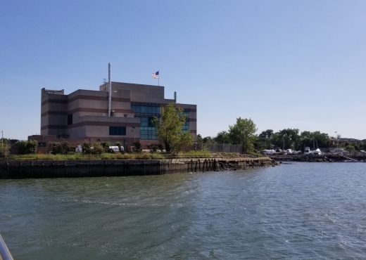
MFS Engineers & Surveyors provided land surveying services for the Consolidated Edison, Inc. Company of NY (ConEd) Rainey to Corona #2 project. The project spanned from the Rainey Substation, located at 35-58 Vernon Boulevard (Block 327, Lot 1), to the Corona #2 Substation, located at 52-24 99th Street (Block 1899, Lot 1) in the borough of Queens, New York.
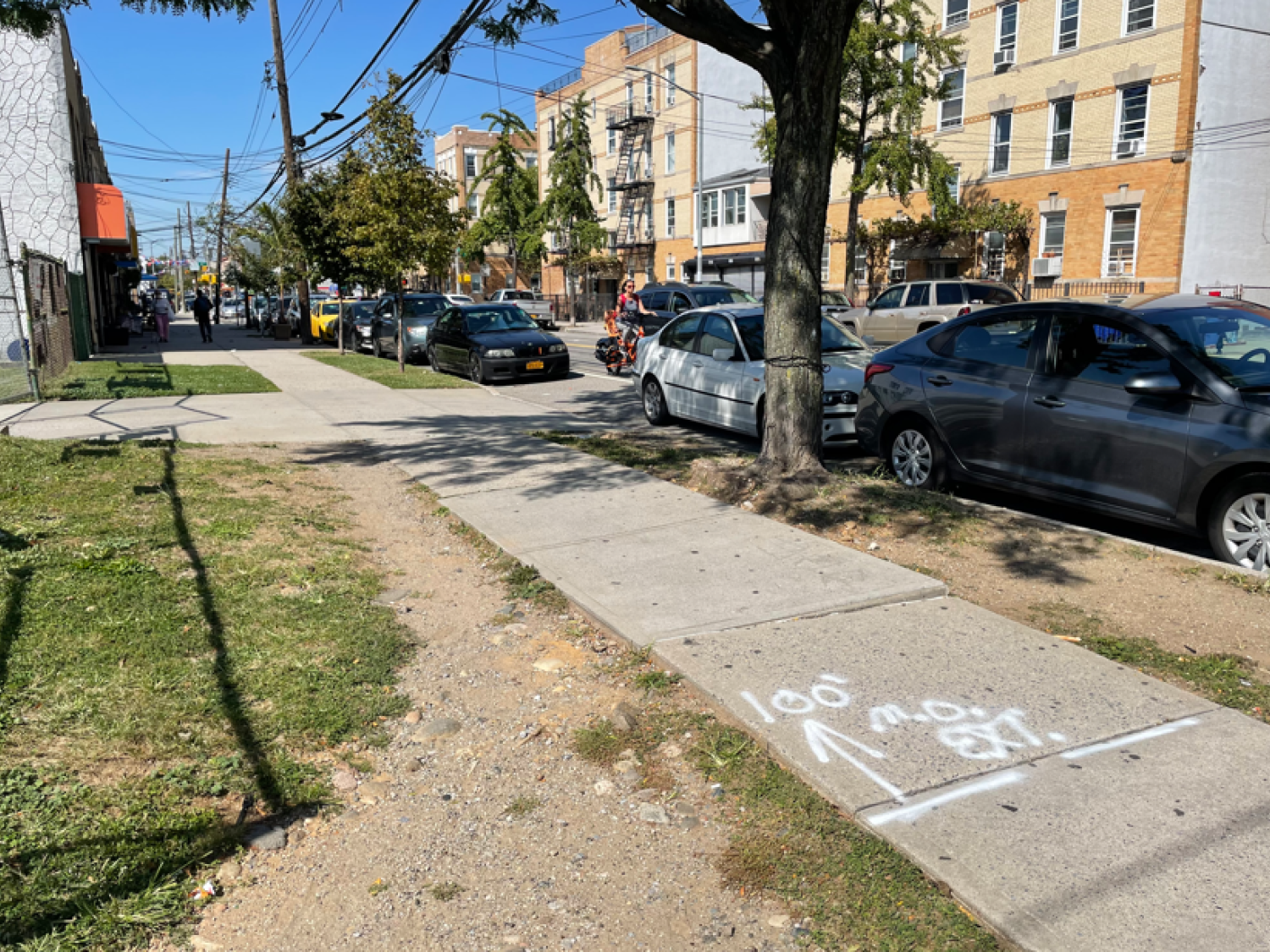
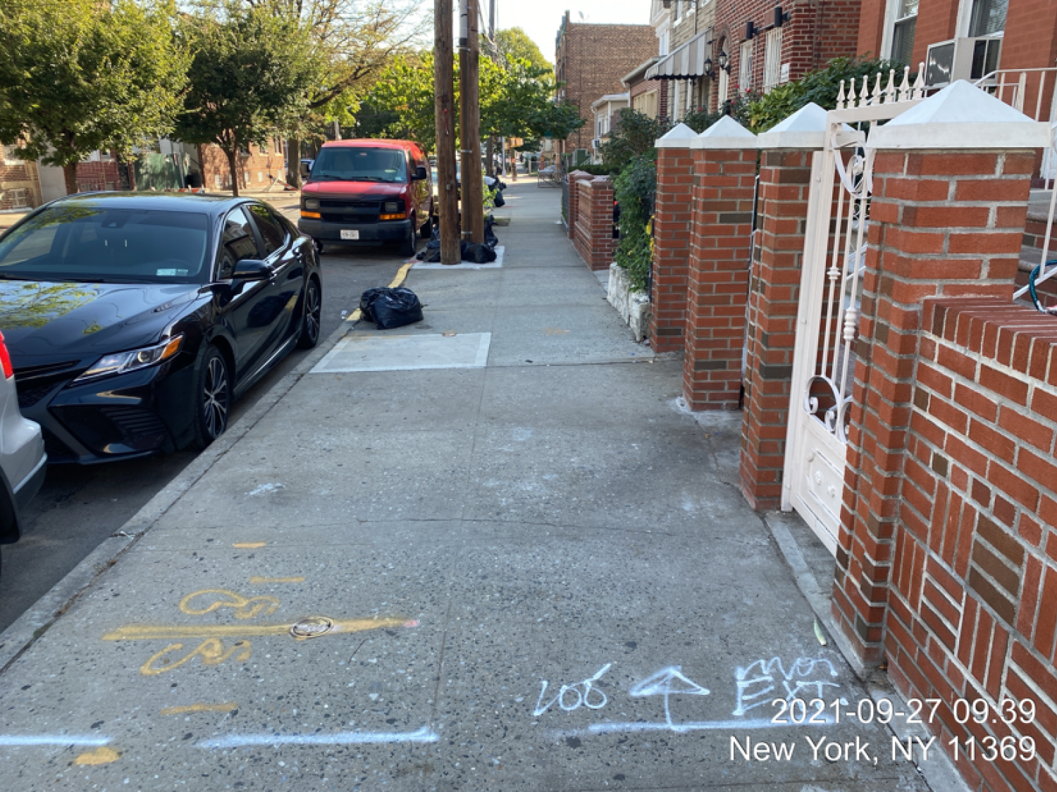
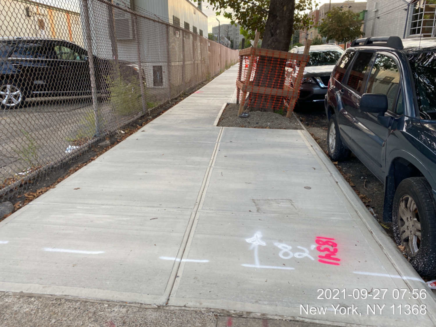
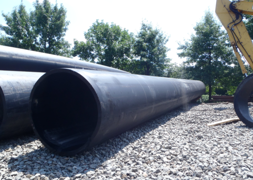
The project consisted of the installation of a new 138 kV underground transmission line between the existing Rainey and Corona #2 Substations predominantly along the public right-of-way (ROW) of various New York City Department of Transportation (NYCDOT) roadways.
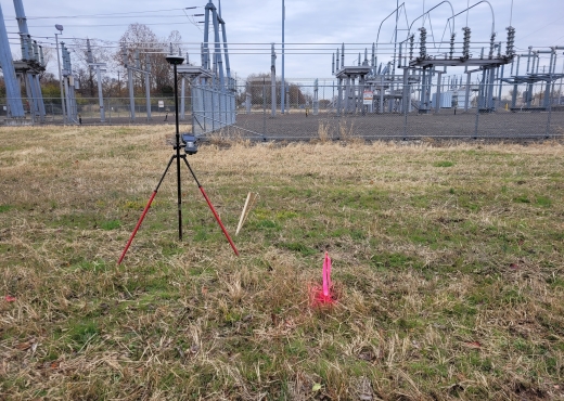
MFS’s field team mapped physical features, such as, but not limited to, buildings, structures, joints, curbs, edge of pavement, walks, fences, gates, street furniture, street trees, edge of wooded areas, etc. The field technician developed contours at an interval of one (1) foot. Point data was gathered at a total width of +/-1,900-ft (+/-950-ft on each side of the proposed route centerline). Areas under elevated roadways were surveyed by conventional methods, the clearance/s to the bridge structure were included.
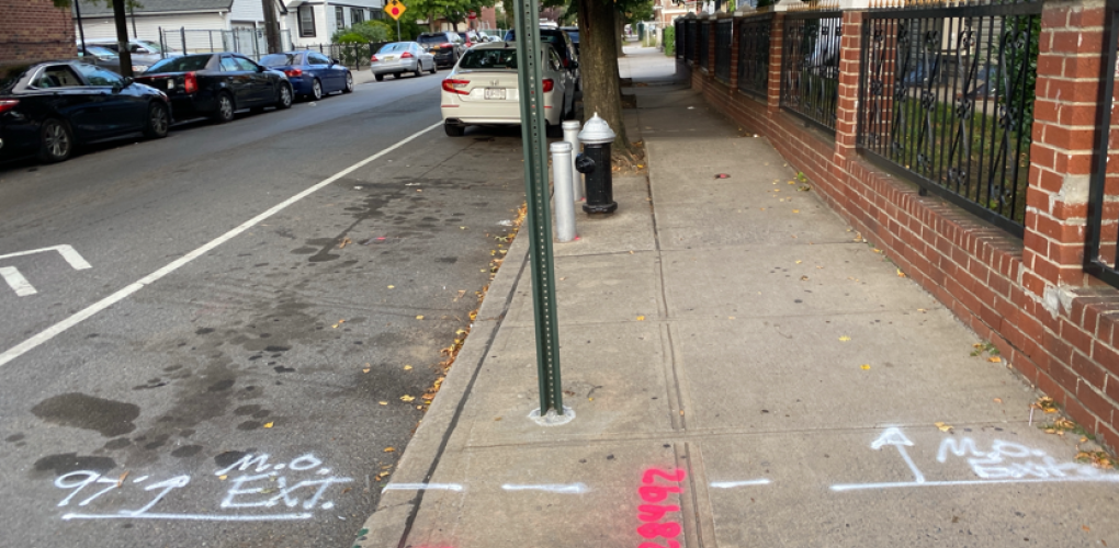
MFS performed a field edit to identify materials, symbols, features that were not identified along the proposed circuit route path during the aerial mapping compilation. The field edit data was used to label the mapped features. Field edits included field survey of features that were obscured from the aerial view such as
areas under bridges. MFS located surface utility structures such as manholes, catch basins, headwalls, valve covers, utility/light poles, hydrants, pipeline markers, etc. Inverts of storm drain and sanitary sewer piping, along with pipe size, at any accessible manholes and catch basins were determined.
Subsurface utilities such as water, gas, electric and communication were depicted based on surface features and available record mapping. MFS contacted NYC One Call to make a design ticket request. MFS also contacted, managed, and coordinated with an MPT subcontractor for traffic control to complete the utility survey. One (1) lane closure with a three (3)-man crew and a crash truck, was necessary.
MFS depicted on its plans the property lines obtained from the New York State GIS parcels. MFS performed field surveys to look for and locate evidence of property/right-of-way locations along the project corridor. Property corner markers, fences, buildings, and other evidence pertinent to determining the locations the right-of-way lines were located. Tax maps, deeds of record for the properties that are along the corridor, and any file/subdivision maps that may be available were obtained. MFS compared the field data to the record data and decided as to locations of the right-of-way lines.