Government
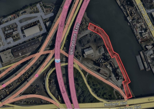
DASNY 206 Oxhead Road Reconstruction
- Owner: DASNY
- Completed: August 2024
- Services: Land Surveying Services Geotechnical Engineering
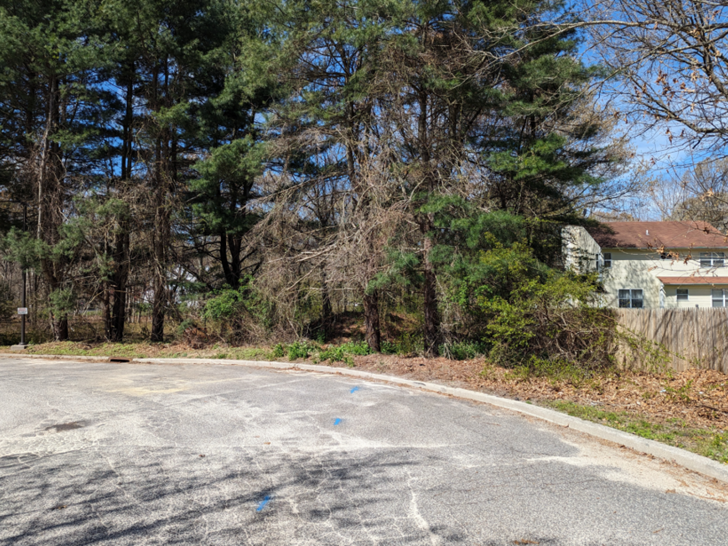
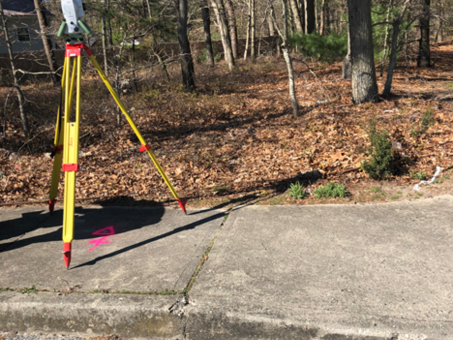
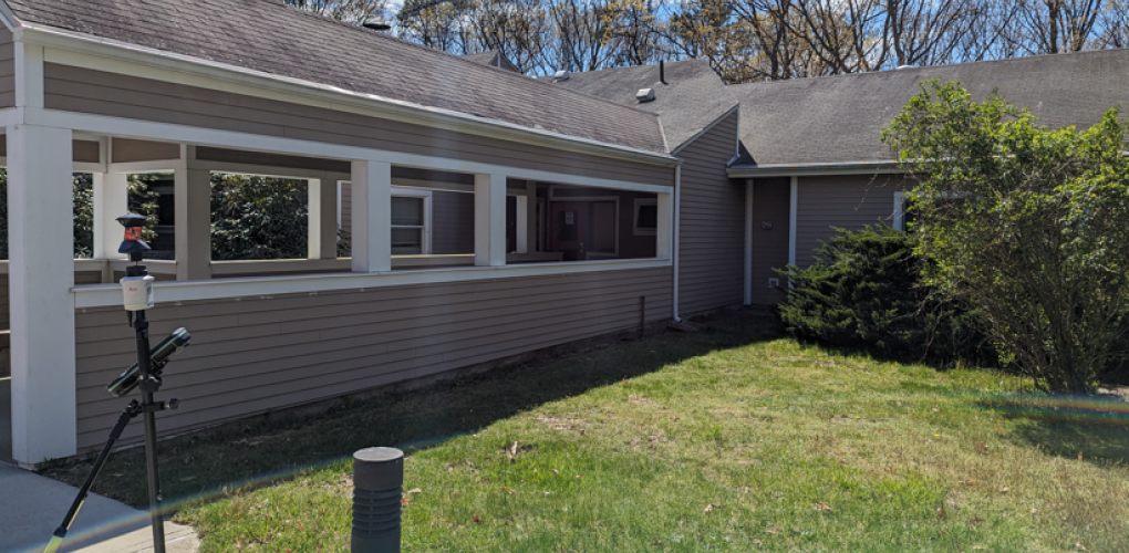
MFS Engineers & Surveyors provided a comprehensive topographic survey and subsurface investigation for the reconstruction of the existing access road to the LIDDSO Facility at 206 Oxhead Road. MFS conducted a full topographic survey to establish horizontal and vertical control using GNSS RTK observations. Control points were tied to the State Plane Coordinate System NAD83 and vertical datum tied to NAVD88. Horizontal and vertical accuracy was ensured through conventional traversing procedures.
MFS surveyed all accessible surface utilities within the project limits. Surface hardware such as manholes, catch basins, and valve covers were located, and storm drains, and sanitary sewer inverts were measured where accessible. The survey was conducted at Quality Level C in accordance with ASCE Standard 38-02, providing a thorough depiction of surface and shallow subsurface utilities.
MFS marked subsurface utilities within the designated project limits at Quality Level B. Electromagnetic utility locating methods were used to identify the presence and horizontal positions of utilities. Subsurface utilities that could not be detected electronically were depicted based on record information.
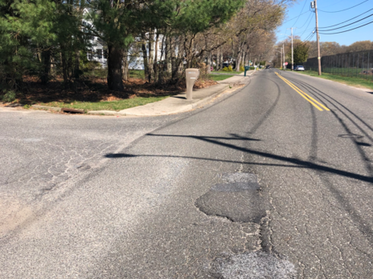
MFS performed a subsurface investigation to obtain critical data for the road’s pavement design. Five pavement cores and two test borings were completed, with borings reaching depths of up to 27 feet below existing site grade. The test borings provided essential information about the composition and condition of the subsurface materials to support the design recommendations for the access road reconstruction.
Samples were collected continuously to a depth of 12 feet and at 5-foot intervals thereafter. The drilling process was efficiently managed to minimize disruption to the existing site, and the surface was restored upon completion of the boring operations.
Geotechnical laboratory tests were performed to classify soils and obtain geotechnical physical characteristics for soils. The results of the field investigation and laboratory testing program were presented in a written geotechnical data report.